Multimodal Training Data Platform for Agriculture AI

AI training data for agriculture involves collecting and annotating diverse datasets, such as satellite images, crop health scans, and soil analysis reports. This data is essential for developing AI models that optimize farming practices, predict yields, detect plant diseases, monitor livestock, and promote sustainable agricultural solutions.
Collage showing plant disease detection on leaves, fruit analysis, aerial view of farmland with highlighted sections, drone flying over crops, and a field section marked for precision agriculture.

Data Curation and Annotation for Agriculture AI

Data annotation for agriculture involves labeling various agricultural datasets, such as crop images, soil samples, and drone footage. This process helps train AI models to monitor crop health, detect pests and diseases, predict yields, and optimize farming practices, driving smarter and more sustainable agricultural solutions.
Cluster of green apples on a tree branch with leaves, each apple highlighted and labeled 'Apple' in green boxes.

Fruit Type, Shape, and Size Detection

Detecting fruit type, shape, and size uses AI-powered image recognition to classify different fruit varieties and assess their physical attributes. This technology helps optimize sorting, grading, and packaging processes, ensuring consistent product quality and improving supply chain efficiency in agriculture and retail.
Aerial view of farmland with two adjacent fields outlined in yellow and red, surrounded by trees and other agricultural plots.

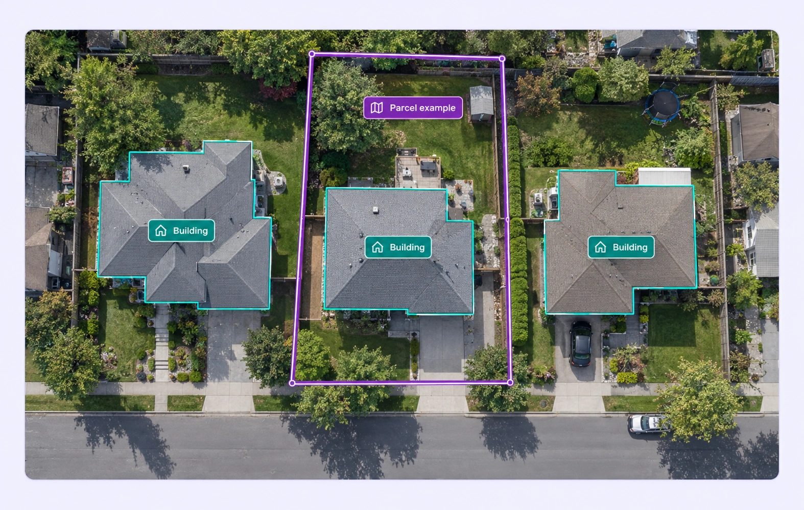
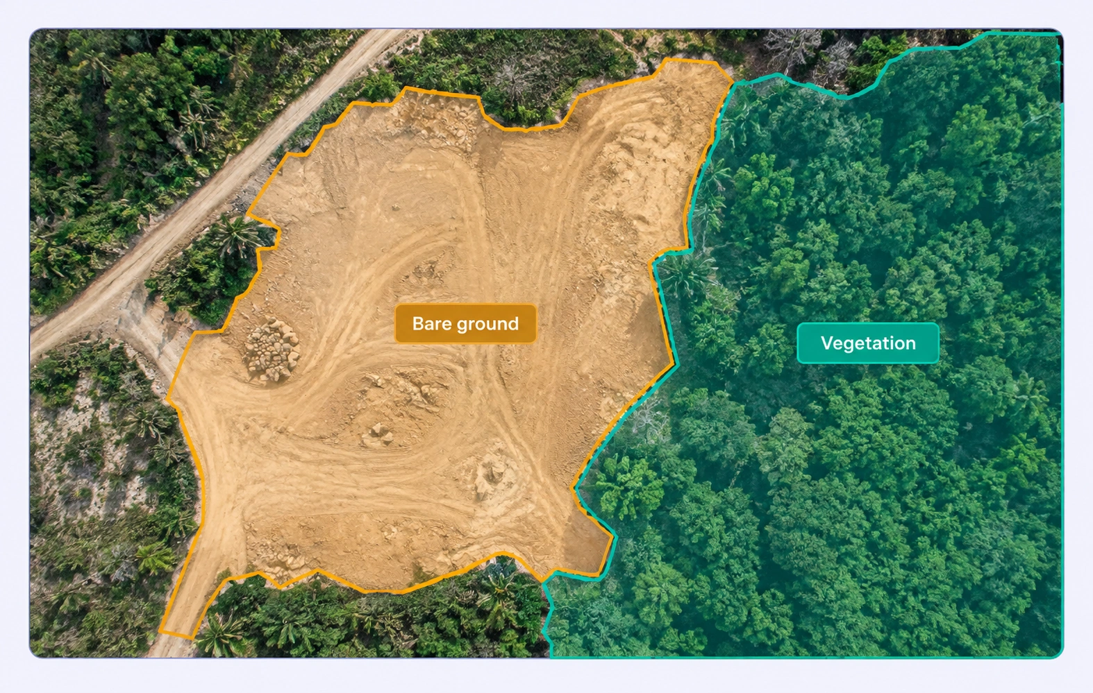
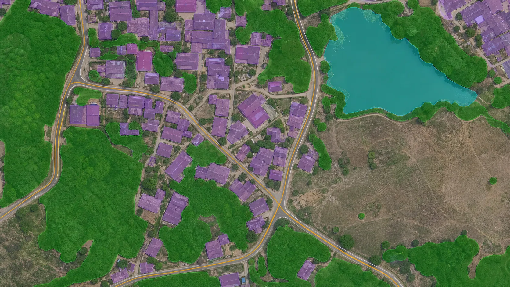
GIS & Geospatial Data Annotation

GIS and geospatial data annotation involve labeling and mapping geographic data from satellite images, drone footage, and other spatial datasets. This process trains AI models for applications such as land use classification, crop monitoring, environmental management, and infrastructure planning, enabling smarter decision-making based on geospatial insights.
Aerial view of uniformly plowed green agricultural fields with parallel rows.

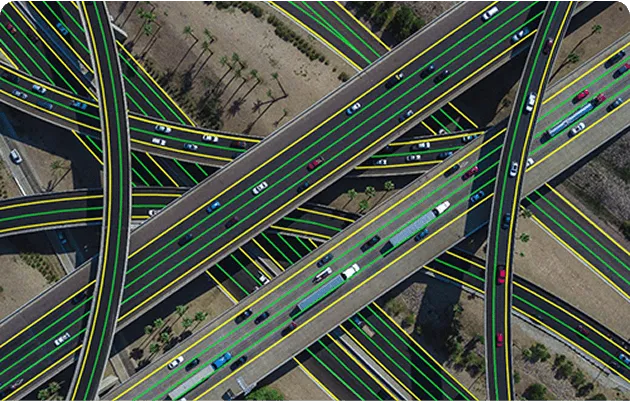
Polyline Annotation for Classifying Crops Lanes

Polyline annotation for classifying crop lanes involves drawing precise lines along planting rows or pathways in agricultural fields. This technique helps train AI models to recognize and analyze crop patterns, optimize planting strategies, and enhance field management for improved agricultural productivity.
Close-up of green wheat spikes with a field of golden wheat and a blue sky in the background, highlighted with green detection boxes.

Crop Detection

Crop detection leverages AI to identify and classify different types of crops in agricultural fields. By analyzing aerial imagery, drone footage, or ground-level data, this technology enables farmers to monitor crop health, detect growth patterns, and optimize field management for higher yields and sustainable farming practices.
Green leaf with multiple brown spots outlined in red indicating plant disease infection.

Plant Disease Detection

Plant disease detection uses AI to identify signs of infections, pests, or nutrient deficiencies in crops through image analysis. By detecting early symptoms such as discoloration, spots, or wilting, this technology helps farmers take timely action to protect their crops, improve yields, and reduce the use of chemicals.
Green seedlings growing in soil with green boxes highlighting individual plants.

Plant and Weed Identification

Plant and weed identification leverages AI to distinguish between crops and unwanted weeds in agricultural fields. This technology aids in targeted weed management, reducing herbicide use and promoting healthier crop growth by providing farmers with precise insights for efficient field maintenance.
Multiple yellow apples on a conveyor belt with yellow boxes highlighting each apple, indicating automated sorting.

Produce Grading and Sorting

Produce grading and sorting use AI-powered image recognition to assess the quality, size, shape, and color of fruits and vegetables. This technology streamlines the sorting process, ensuring consistent product standards, reducing waste, and enhancing operational efficiency in agricultural supply chains.
Tomato plant with multiple tomatoes identified and labeled as ripe with confidence scores shown in green boxes.

Ripeness and Maturity Monitoring

Monitoring fructify and ripeness levels involves using AI-driven image analysis to assess the development and maturity of fruits. This technology helps optimize harvest timing, ensure better quality produce, and reduce waste by providing accurate insights into fruit ripeness throughout the growth cycle.

Why AI Teams Choose Unitlab

One platform to manage, annotate, and curate training data across every modality, helping teams move faster while staying efficient at scale.
15X
Faster Data Annotation
60%
Free Up AI Engineer’s Time
5X
Save AI Development Cost

Annotation types

Annotation types in agriculture include bounding boxes for identifying crops, weeds, and pests; segmentation for mapping field areas; keypoint annotation for tracking plant growth stages; and polygon annotation for precisely outlining crop regions. These techniques train AI models to improve agricultural efficiency, monitor field conditions, and support precision farming practices.
Three green apples hanging on a tree branch with green leaves in a sunlit orchard.

Bounding Box for Object Detection

Bounding box annotation for object detection in agriculture involves drawing rectangular boxes around various objects such as crops, fruits, pests, or farm equipment. This technique helps train AI models to recognize, track, and analyze agricultural elements, enabling better crop monitoring, yield estimation, and pest management.

Keypoint

Keypoint annotation in agriculture involves marking specific points on fruits to accurately capture their size, shape, and structural features. This technique helps train AI models to analyze fruit dimensions, detect deformities, and optimize sorting and grading processes for improved agricultural efficiency.

Two apples growing on a tree branch with green leaves and sunlight in the background.
Aerial view of a large rectangular green field outlined with a yellow and red border, surrounded by trees and adjacent farmland.

Polygon

Polygon annotation for farmland detection involves outlining precise, irregular boundaries of agricultural fields on satellite or aerial imagery. This technique trains AI models to accurately identify, segment, and analyze farmland areas, supporting efficient land management, crop monitoring, and resource optimization.

Polyline

Polyline annotation in agriculture involves drawing continuous lines to detect and map lanes, furrows, or irrigation channels within farms. This technique helps train AI models to analyze farm layouts, optimize planting patterns, and improve navigation for autonomous farming equipment.

Green agricultural field with rows of crops marked by blue lines converging towards the horizon.

Agriculture AI FAQs

What agriculture data can Unitlab AI prepare?

Unitlab supports satellite and aerial imagery, field images, crop and livestock video, documents, text, geospatial rasters, and connected records.

Can Unitlab annotate satellite and drone imagery?

Yes. Geospatial workflows support large rasters, deep zoom, coordinate-aware review, polygons, segmentation, regions, and land-cover labels.

Which annotations support crop and livestock models?

Teams can use detection boxes, segmentation, polygons, keypoints, classifications, properties, temporal labels, and object tracks.

Can seasonal and time-series field data be organized together?

Related imagery, video, documents, and properties can be grouped, reviewed, and versioned to preserve field and sequence context.

Can agriculture datasets be curated before annotation?

Teams can search, filter, deduplicate, balance, version, and route selected field data into annotation and QA.

Does Unitlab support AI-assisted segmentation?

Yes. AI-assisted segmentation and custom model workflows can accelerate crop, field, and object labeling while keeping human review in control.

How are agriculture ontologies kept consistent?

Controlled classes, properties, relations, instructions, and review workflows help standardize crop, condition, and field labels.

Can Unitlab handle very large geospatial images?

Yes. Deep zoom and multi-resolution viewing support detailed annotation of large satellite, aerial, and field imagery.

Can teams upload and export large datasets programmatically?

Unitlab provides CLI and Python SDK workflows for programmatic project and dataset operations at production scale.