
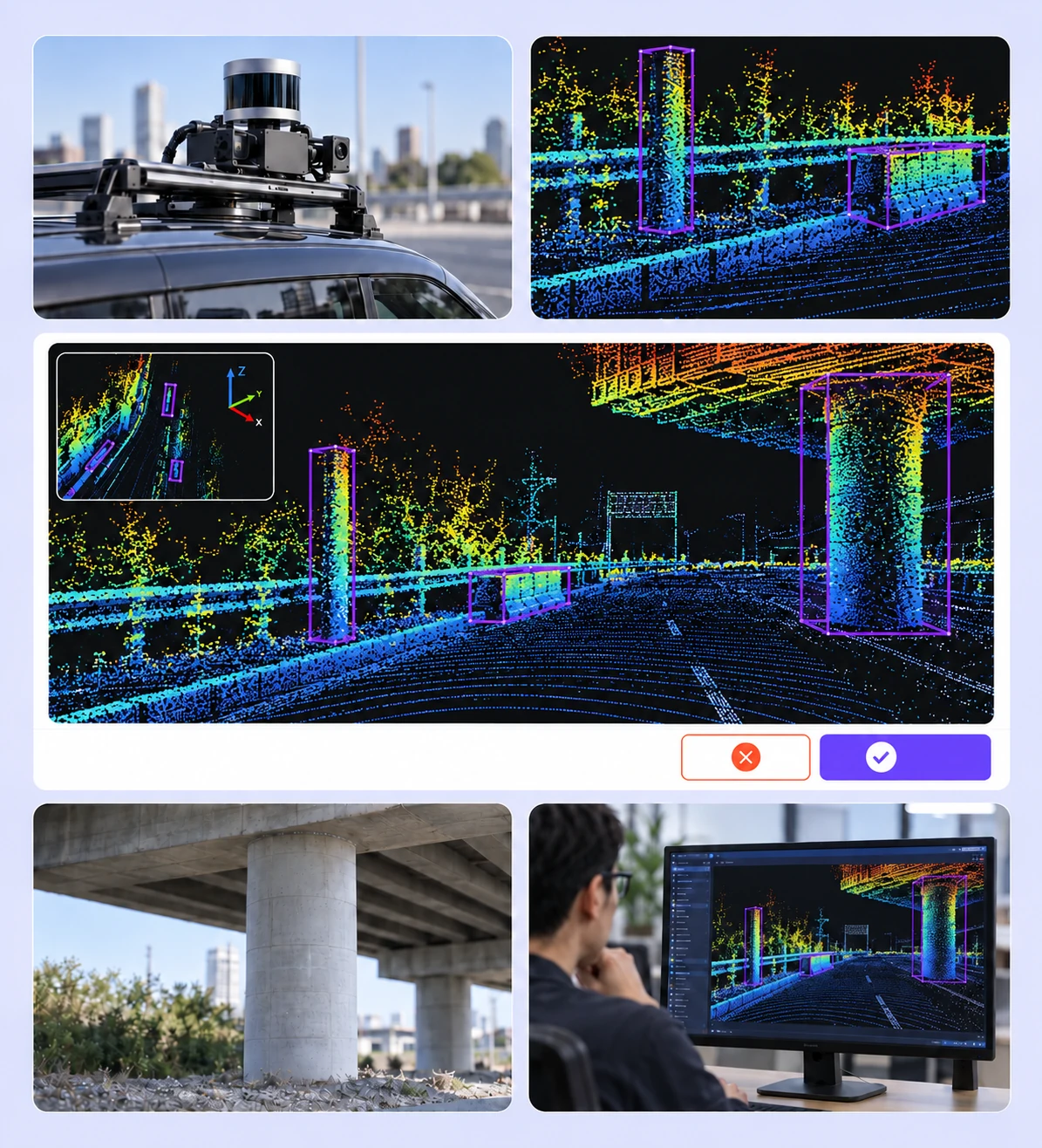
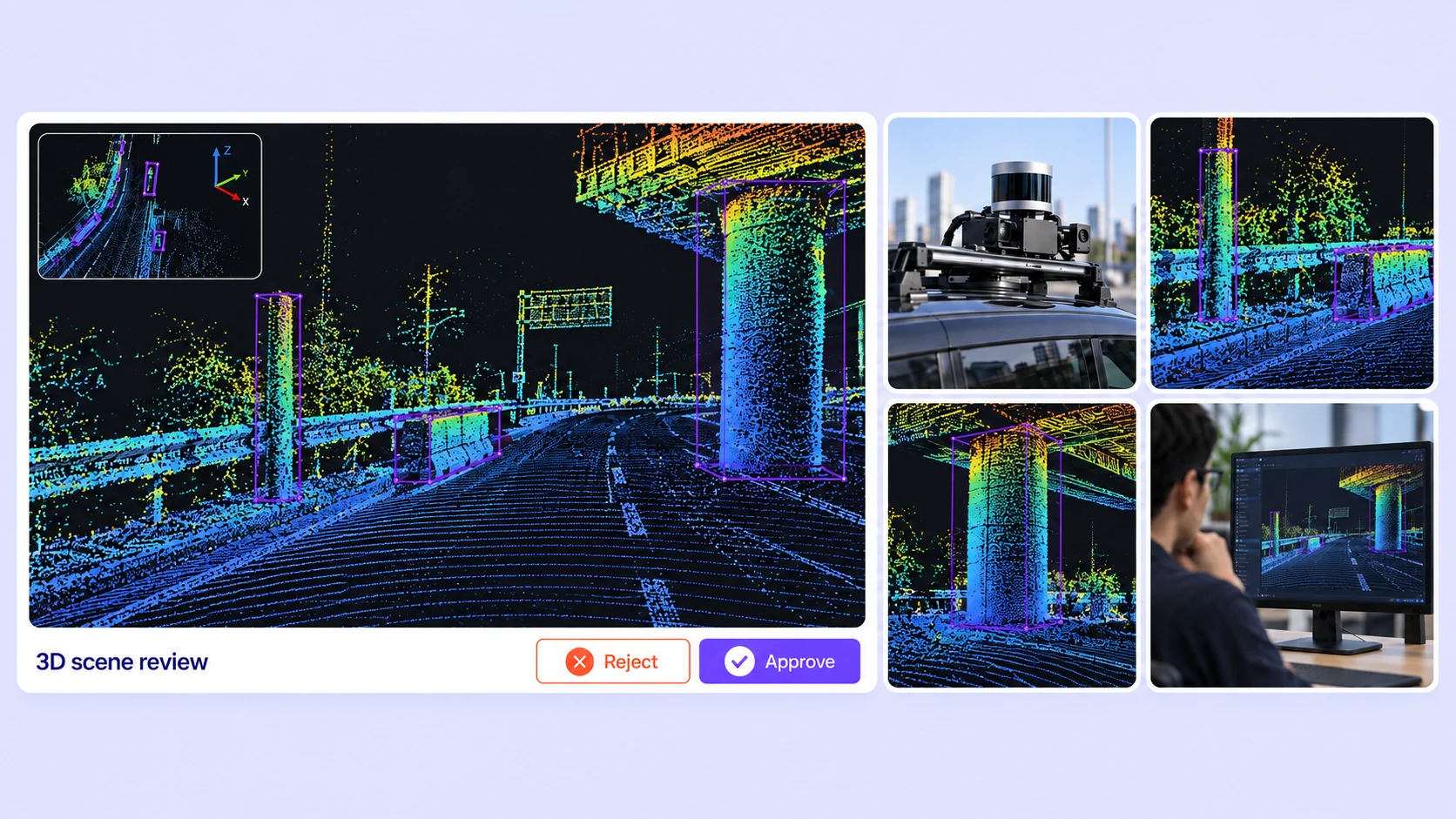
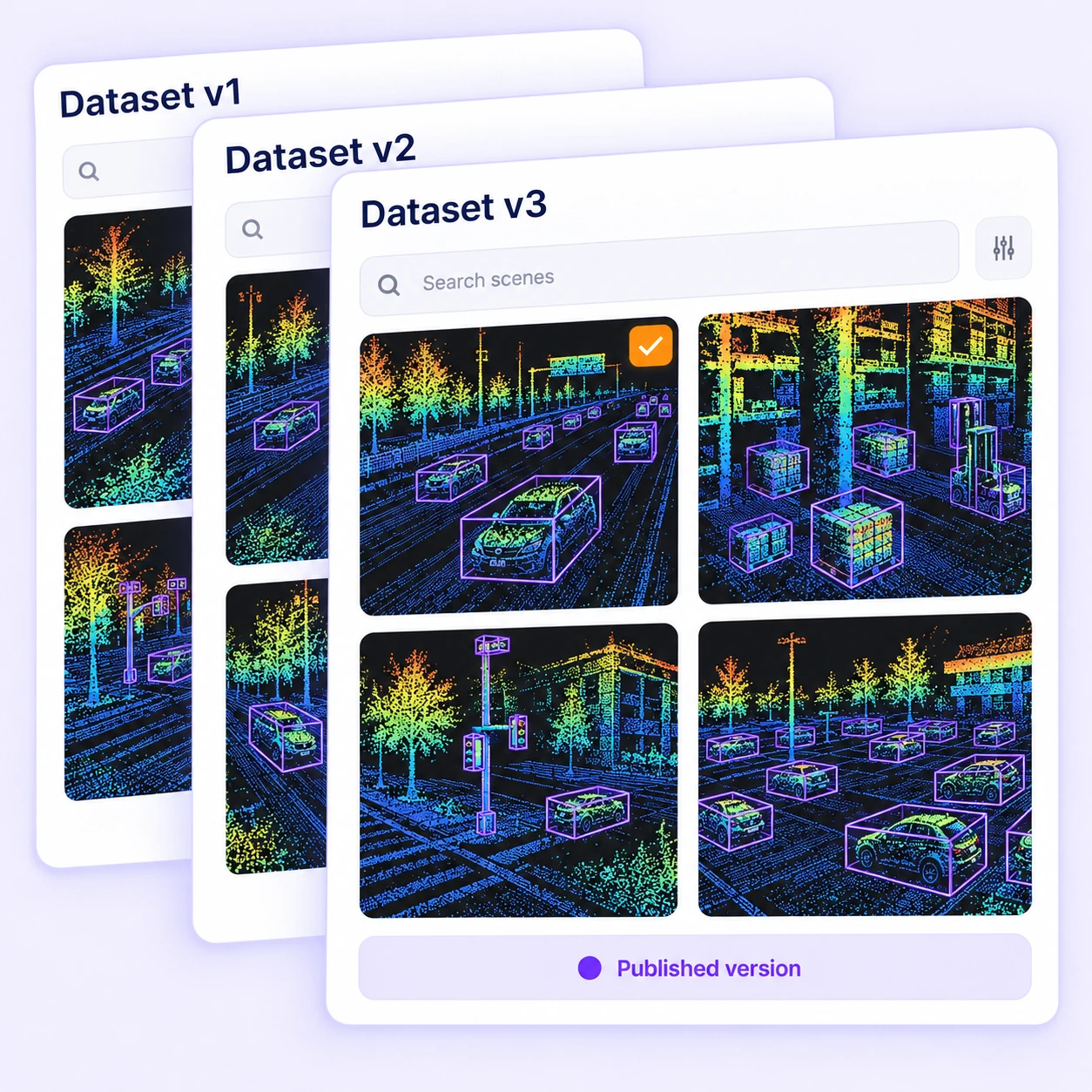
Batch workflows, camera-assisted Find Similar and Auto-Tracking, and interpolation reduce repetitive manual LiDAR labeling.
On average, 85% of LiDAR labels are pre-labeled automatically, then reviewed and refined by humans.
The cost per accepted label can be up to 15× lower as curation, annotation, and QA are automated.
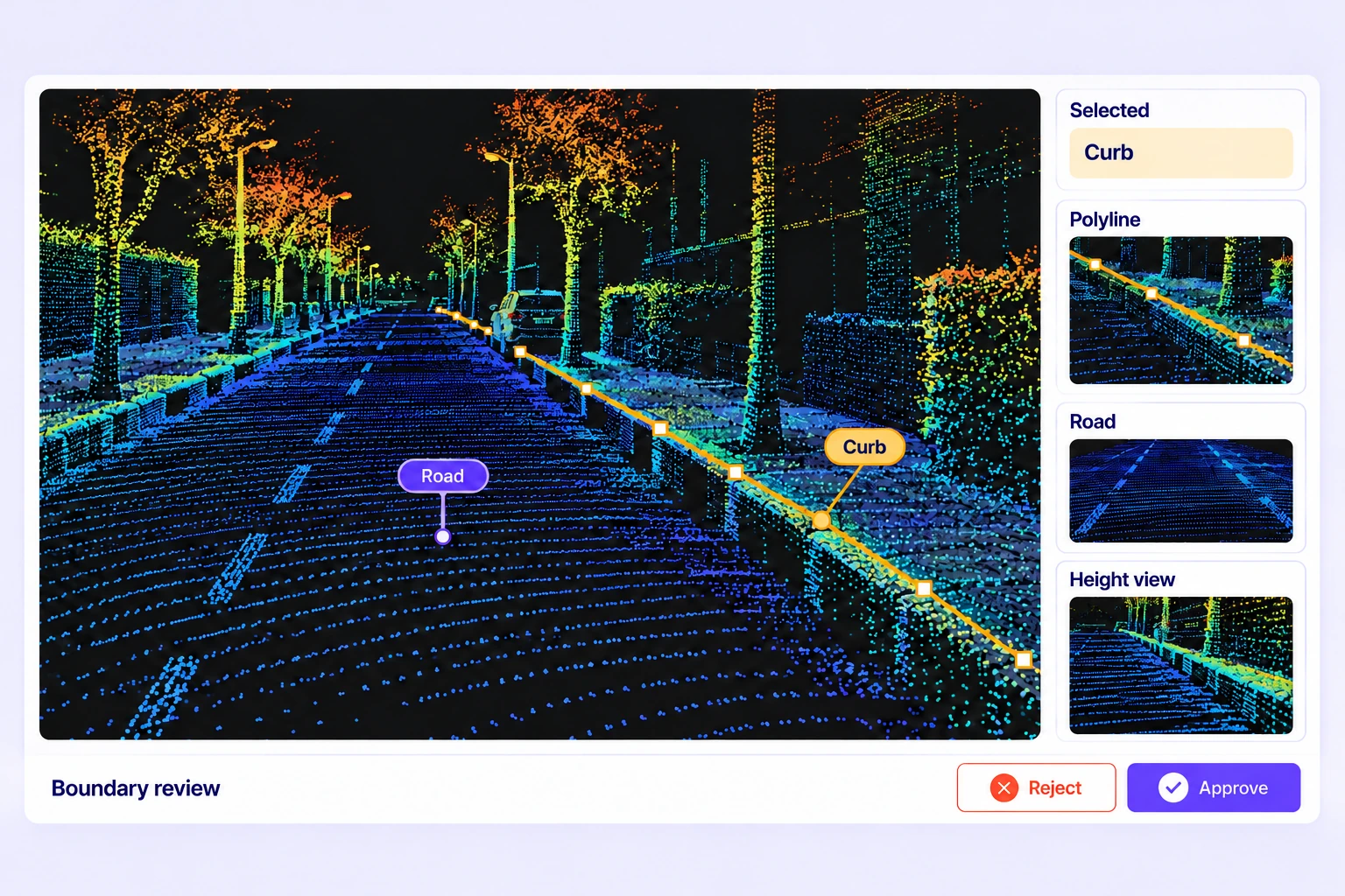
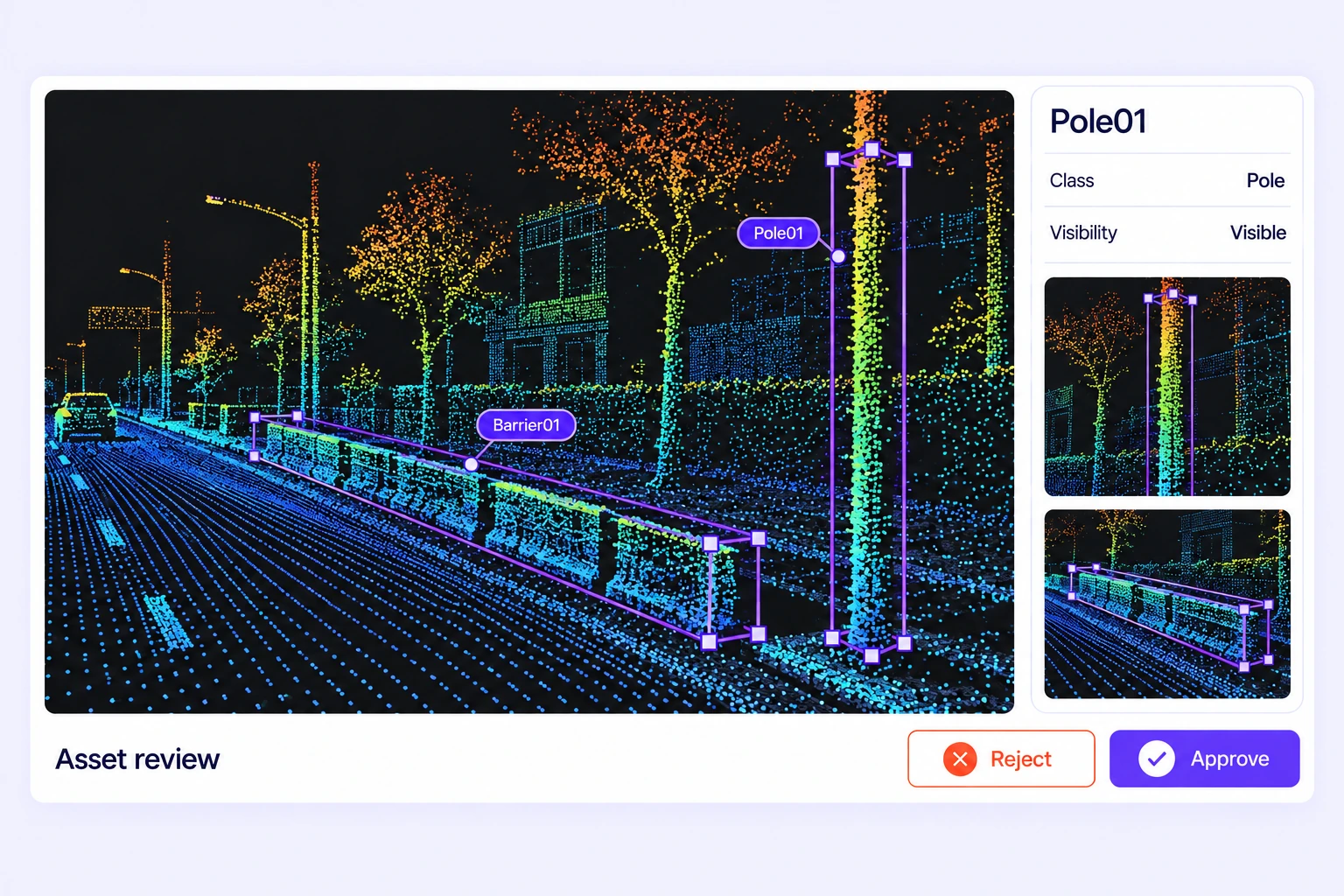
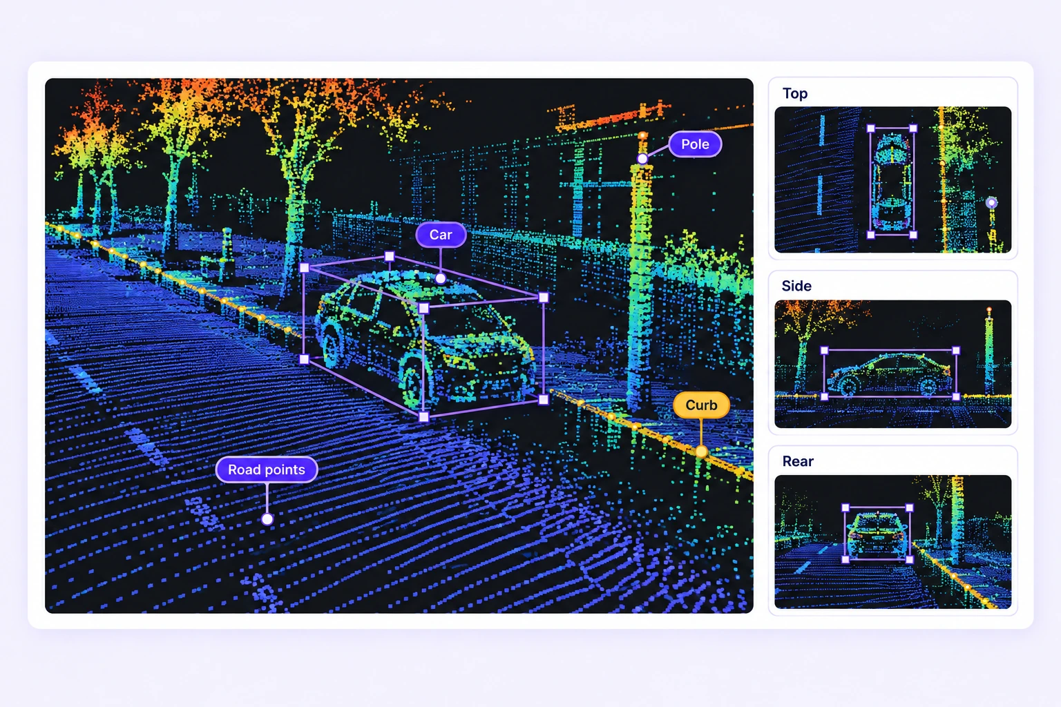
Use point-based geometry to represent boundaries and individual assets. Keep vertex placement, class definitions, and required properties consistent across the dataset.
Inspect class assignments in 3D and available calibrated camera views. Resolve mislabeled regions and incomplete properties before creating a reviewed annotation release.
It is the labeling of infrastructure features in point-cloud data for downstream perception or analysis models. Examples include road boundaries, roadside assets, structures, and point-level scene classes.
Yes. Use 3D polylines and other supported spatial geometry to trace the features defined by your task. Inspect the vertices against the measured points and document how ambiguous or incomplete boundaries should be handled.
Yes. Define the required asset classes and choose suitable 3D geometry or point segmentation. Use shared properties for task-relevant attributes and review uncertain labels with the original scene in view.
Upload PCD, PLY, and BIN point clouds as individual files, ZIP scenes, or folders. Use scene manifests to preserve frame sequences, sensor definitions, calibration, and poses for multi-sensor recordings.
Use point segmentation when each measured point needs a class label, such as road surface, vegetation, or structure. Use polylines for boundaries and cuboids or other spatial shapes for individual assets.
Use a shared ontology, required properties, and explicit boundary definitions. Organize recordings with available metadata and tags, then create dataset versions for selected sessions and review labels against representative examples.
Combine expert review, standalone-scene Consensus, and approved Quality Gate benchmarks. Review spatial geometry and point labels in context, resolve assigned issues, and check required properties before release.
Inspect boundary vertices in 3D and calibrated camera views where available. Apply shared rules for gaps and partial visibility, record uncertain cases as issues, and resolve them before accepting the labels.
Export supported LiDAR annotations in Unitlab Unified Export Format (UUEF) with spatial geometry, point labels, tracks where present, and scene metadata. Check the coordinate handling and class definitions against your downstream processing pipeline.


We use cookies to improve your experience. See our Privacy Policy and Cookie Policy.