
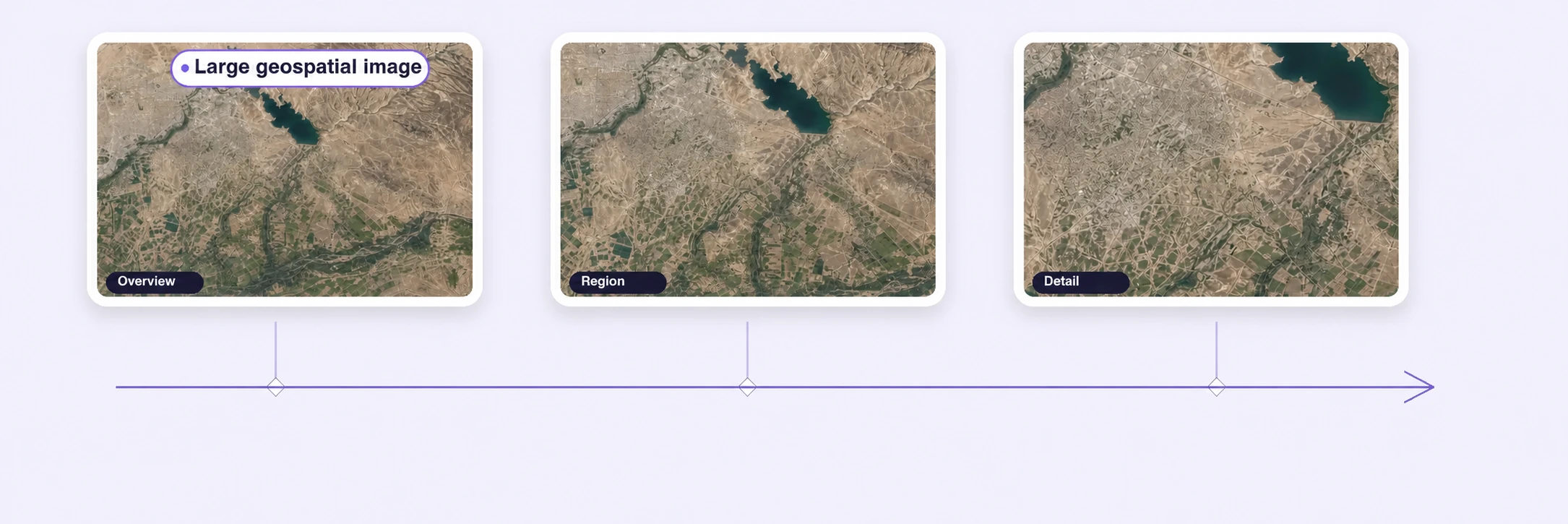
Large Geospatial Image Support
Annotate massive satellite, aerial, and geospatial imagery without downscaling or splitting images manually.
Bounding boxesPolygon boundariesSegmentation masks

Annotate satellite and aerial imagery for remote sensing, land-cover segmentation, and large-raster workflows with precise tools, geospatial context, and governed quality review.
Label large aerial images, segment complex regions, trace roads and boundaries, and apply consistent ontologies without losing visual context.
Annotate massive satellite, aerial, and geospatial imagery without downscaling or splitting images manually.
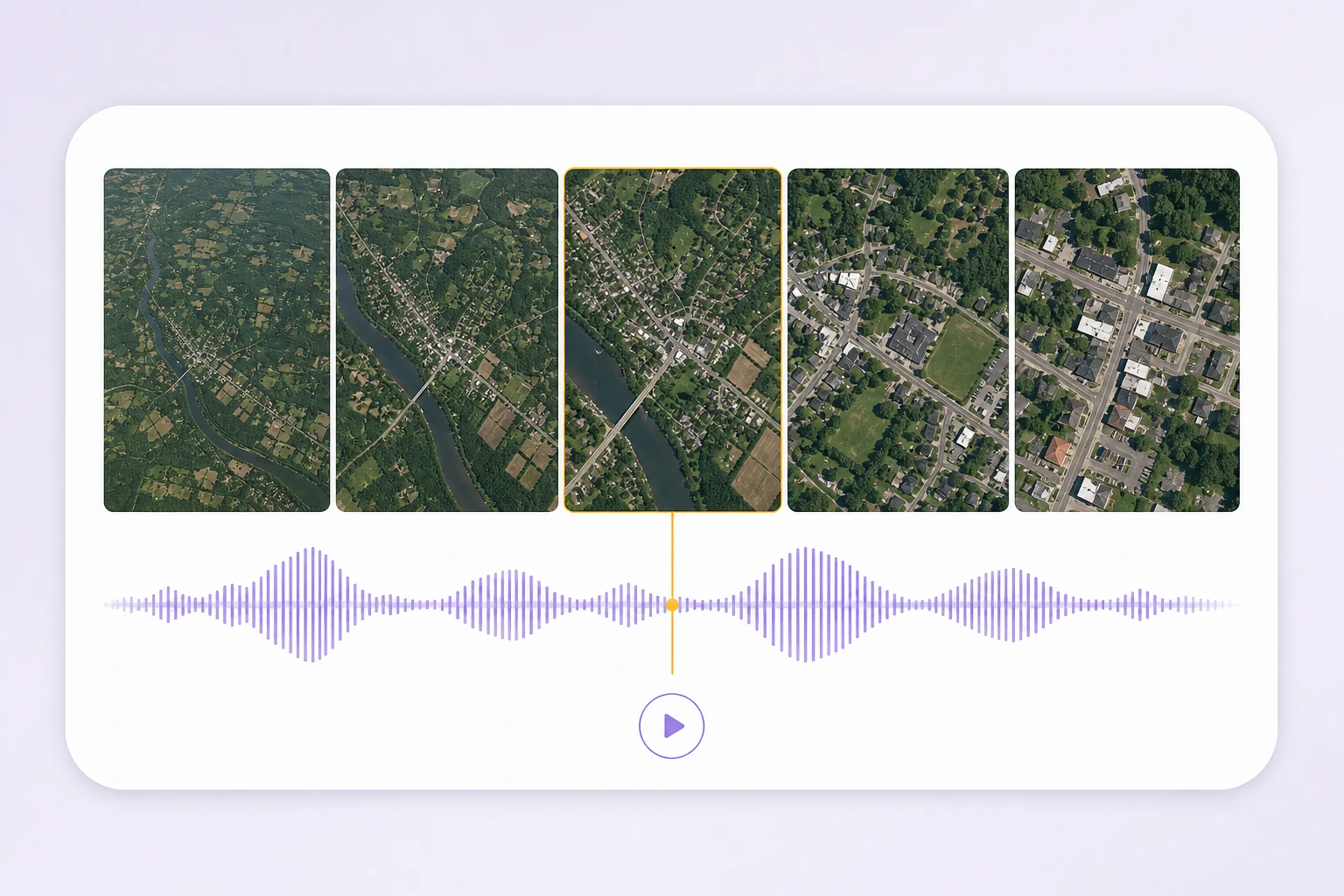
Navigate seamlessly from large-area overviews to fine object-level details across multiple resolution levels.
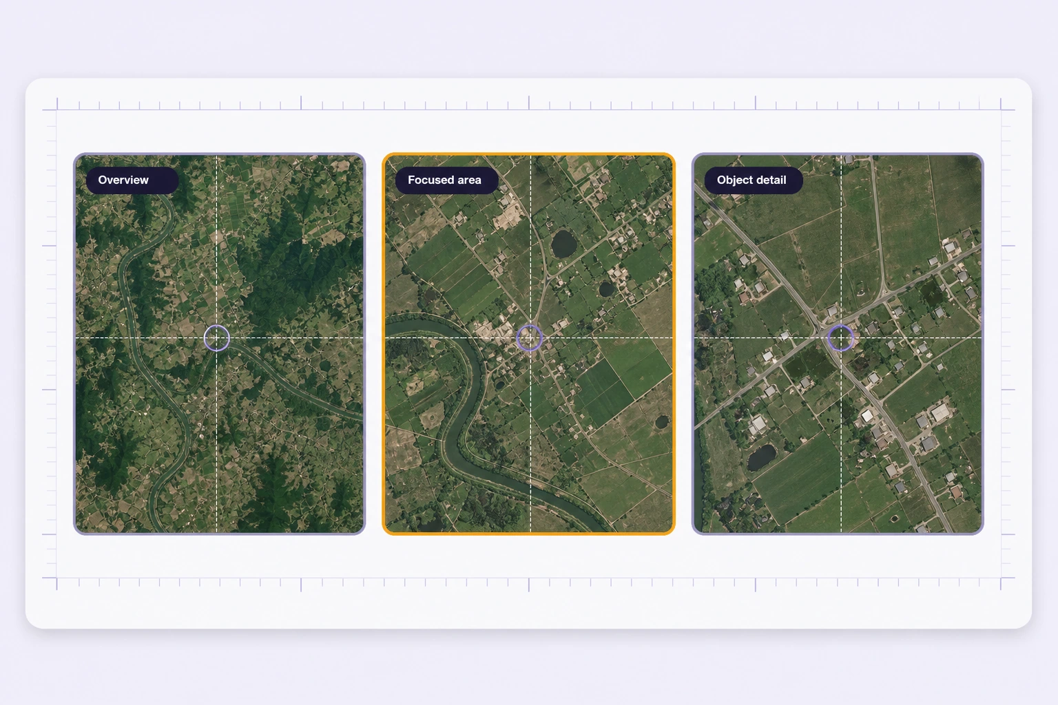
Preserve spatial coordinates and georeferencing while creating and exporting annotations.
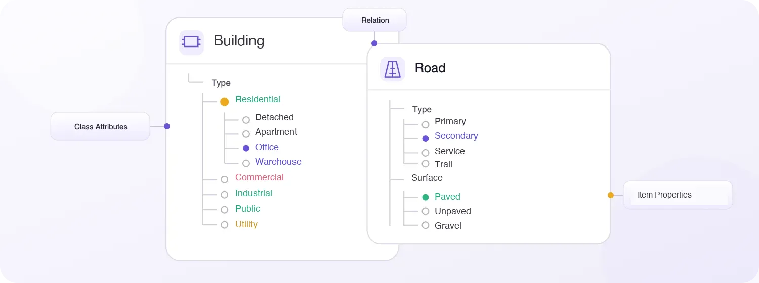
Hierarchical classes, nested attributes, and structured metadata for geospatial imagery.
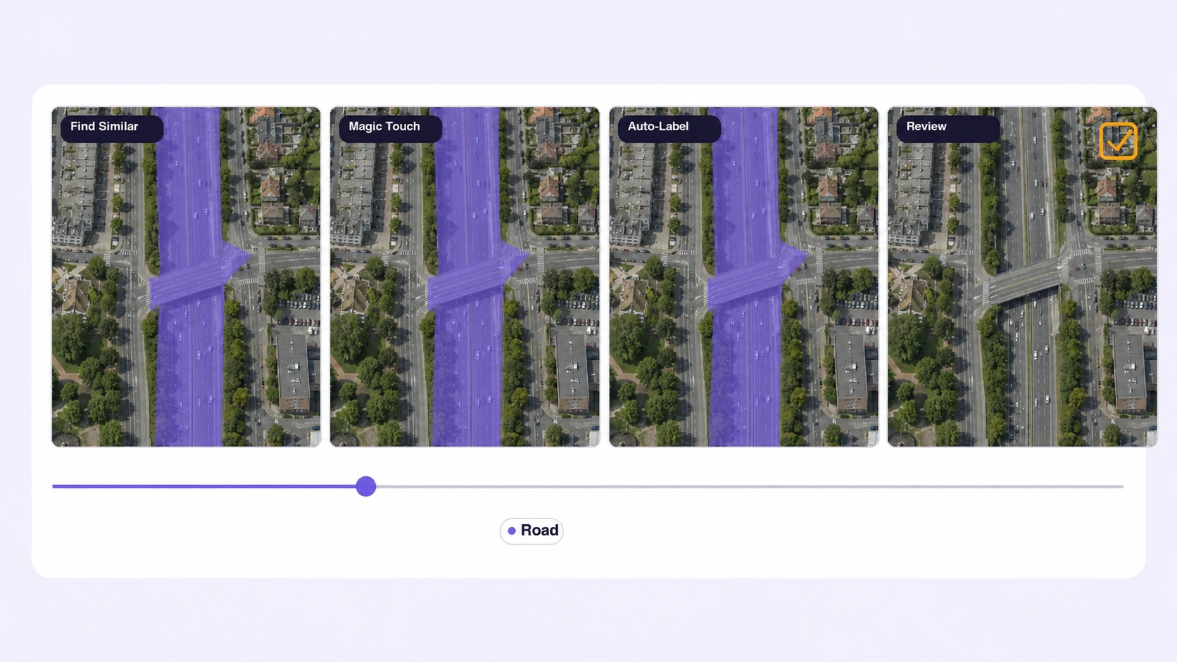
Accelerate repetitive geospatial labeling with Find Similar, Magic Touch, and automated annotation.
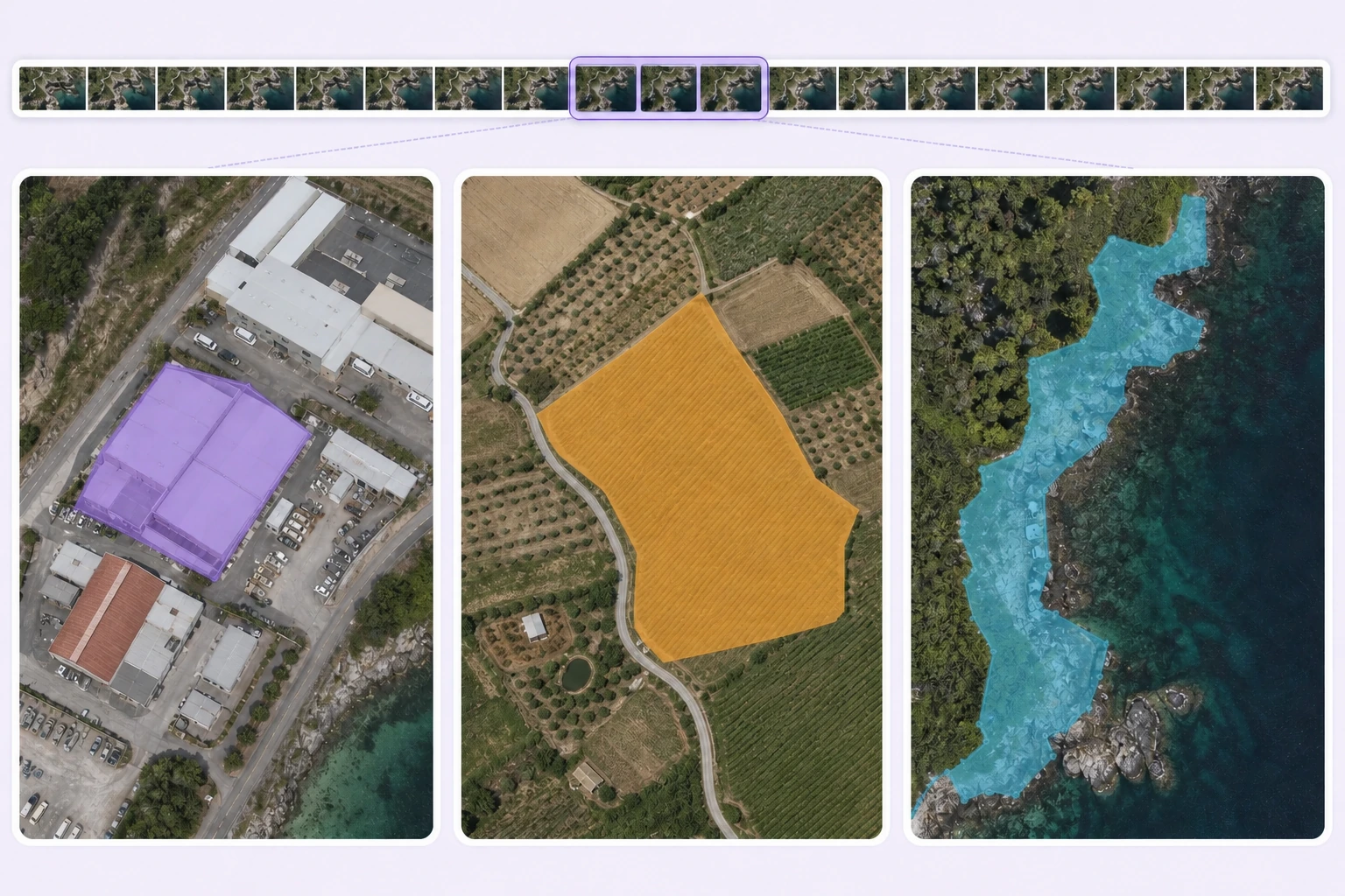
Precisely delineate buildings, roads, land parcels, vegetation, infrastructure, and irregular geographic regions.
Annotate complex geospatial datasets faster with AI-assisted automation, scalable workflows, and lower operational costs.
Batch, Find Similar, Prompt Auto-Labeling, and automated workflows reduce repetitive manual geospatial labeling.
On average, 95% of geospatial labels are pre-labeled automatically, then reviewed and refined by humans.
The cost per accepted label can be up to 15× lower as curation, annotation, and QA are automated.
Create bounding boxes, segmentation masks, polygons, skeletons, polylines, keypoints, and 3D cuboids across aerial and geospatial images.
Detect vehicles, structures, and assets with precise rectangular regions.
Create pixel-accurate masks for roads, water, vegetation, buildings, or damage.
Outline parcels, rooftops, fields, and site boundaries with precise vertices.
Use connected landmarks only for visual targets that require a defined point structure.
Trace roads, paths, utility corridors, coastlines, and other linear features.
Mark poles, signs, landmarks, inspection targets, and other precise locations in an image.
Represent supported visual targets with depth-aware boxes where perspective makes 3D extent useful.
Describe a complete image with source, capture conditions, quality, and scene-level attributes.
Connect buildings, roads, vehicles, and other annotated objects with contextual relationships.
Compare labels on the same aerial or satellite imagery, check approved references, and resolve boundary issues in spatial context. Keep every quality decision connected to the source tile.
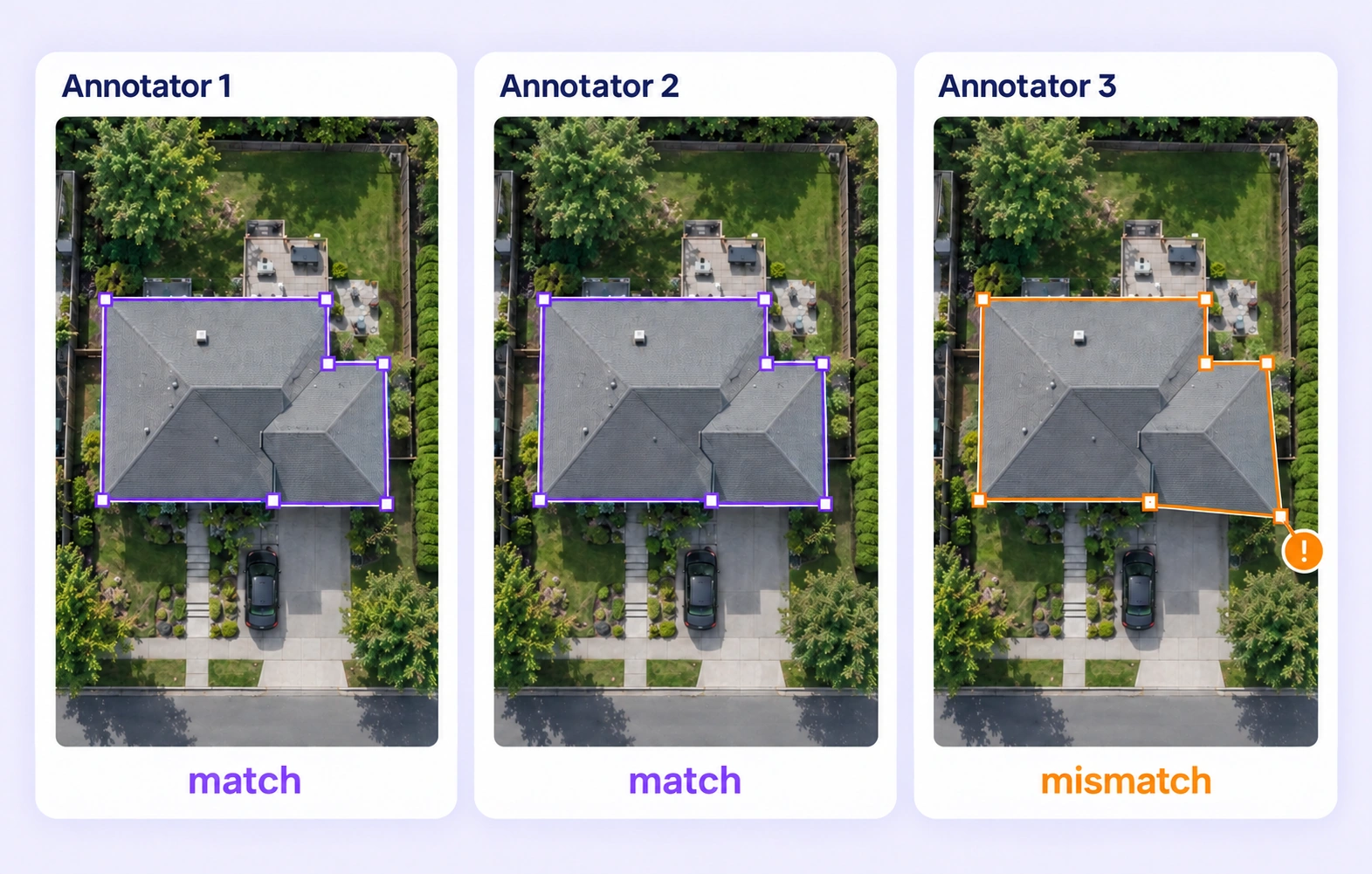
Compare independent polygons and classes on the same source tile. Surface disagreements in building footprints, roads, and land-cover boundaries for review.
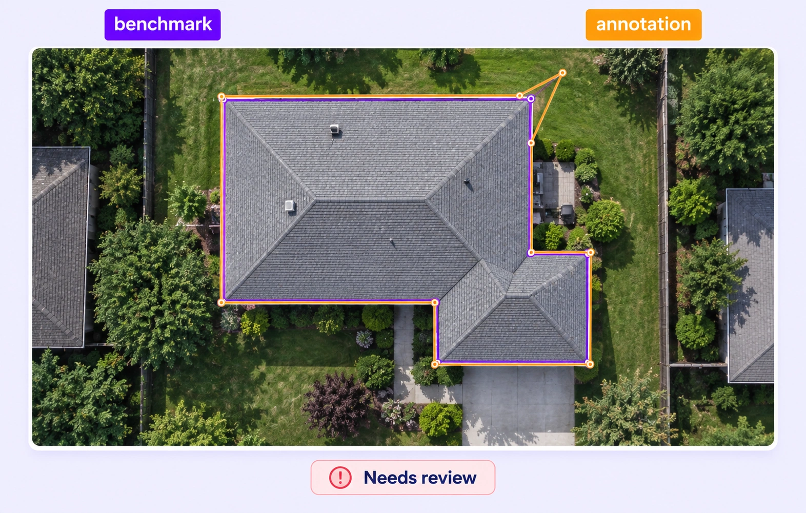
Check geospatial labels against approved reference annotations hidden from annotators. Route submissions using configured criteria for supported geometry and classes.
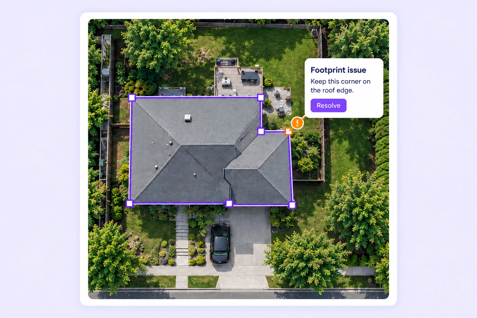
Inspect required properties and boundary issues with the source imagery in view. Refine the affected geometry and resolve reviewer feedback before approval.
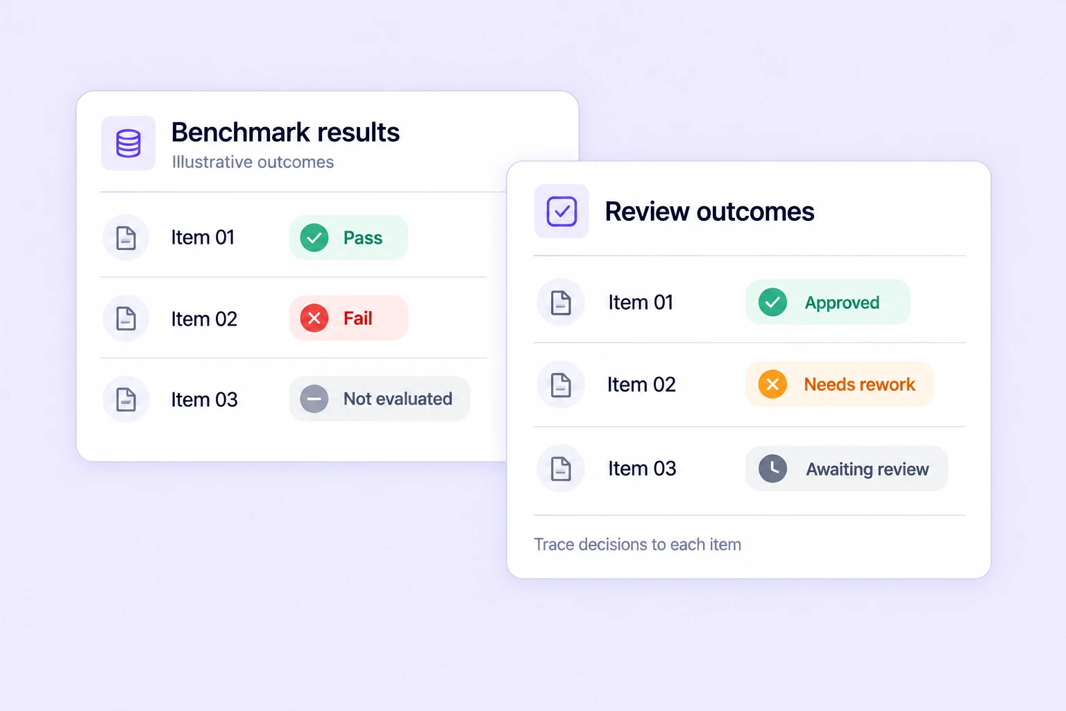
Track benchmark results, annotation agreement, and review outcomes across geospatial tasks. Prioritize tiles and feature classes that need closer inspection.
Search, version, and inspect geospatial datasets, connect AI models, and move annotations through review and approval.
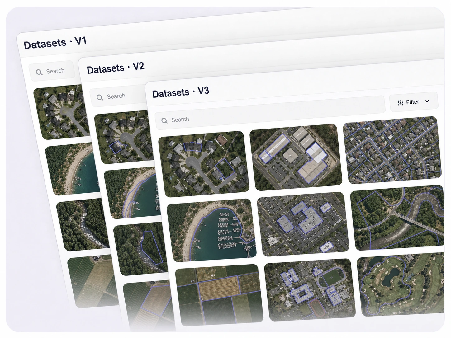
Create and manage dataset versions as geospatial data evolves. Track changes, assign work, and keep every version auditable and production-ready.
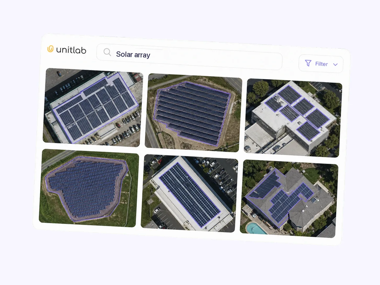
Explore large geospatial datasets through semantic understanding instead of manual filters. Find matching aerial images across diverse conditions.
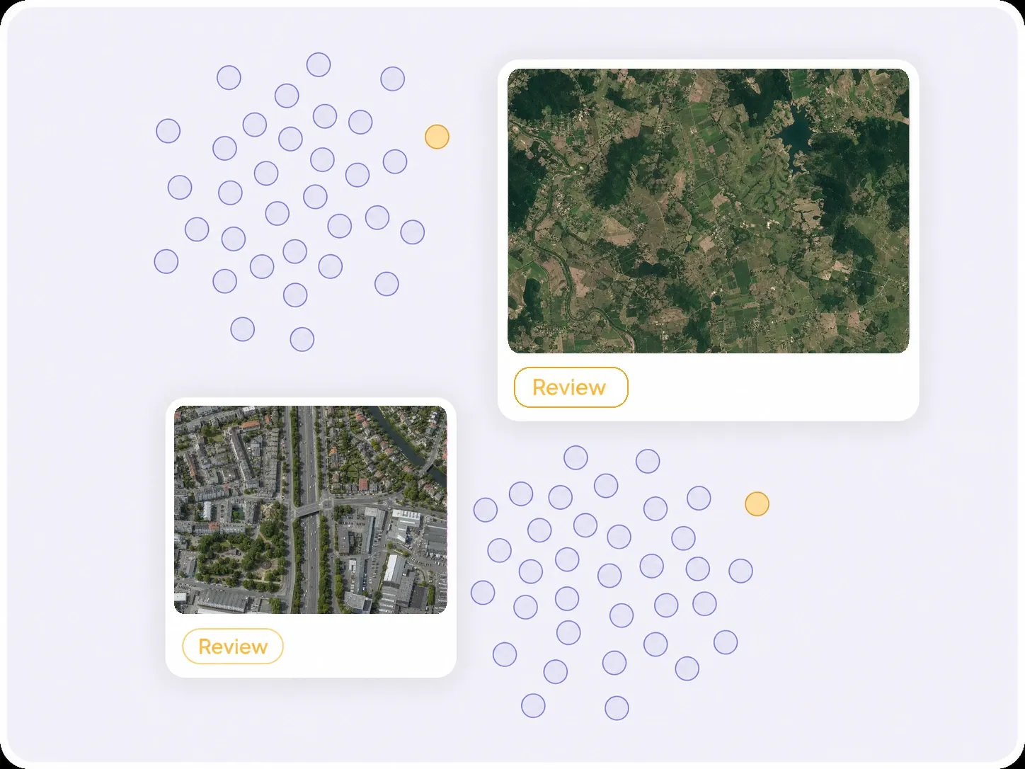
Visualize dataset structure, identify outliers and labeling issues, and improve geospatial-data quality before training.
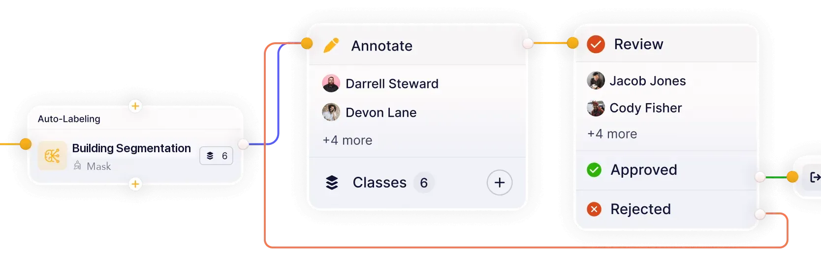
Build workflows that connect models, annotation, review, and quality assurance in one continuous loop. Reduce handoffs and keep datasets moving from labeling to approval.
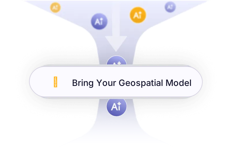
Connect your own AI models for pre-labeling and model-assisted annotation. Improve accuracy and iterate faster on real-world geospatial datasets.
Turn satellite, aerial, and drone imagery into structured datasets for land, agriculture, infrastructure, and environmental intelligence.
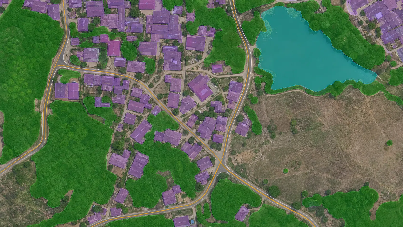
Annotate buildings, roads, vegetation, water bodies, and land-cover classes across satellite and aerial imagery.
Explore land use classification
Label crop regions, field boundaries, irrigation patterns, vegetation conditions, and agricultural infrastructure.
Explore agriculture solutions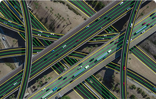
Annotate roads, buildings, parcels, utilities, and construction areas for mapping, planning, and infrastructure intelligence.
Explore infrastructure & urban mapping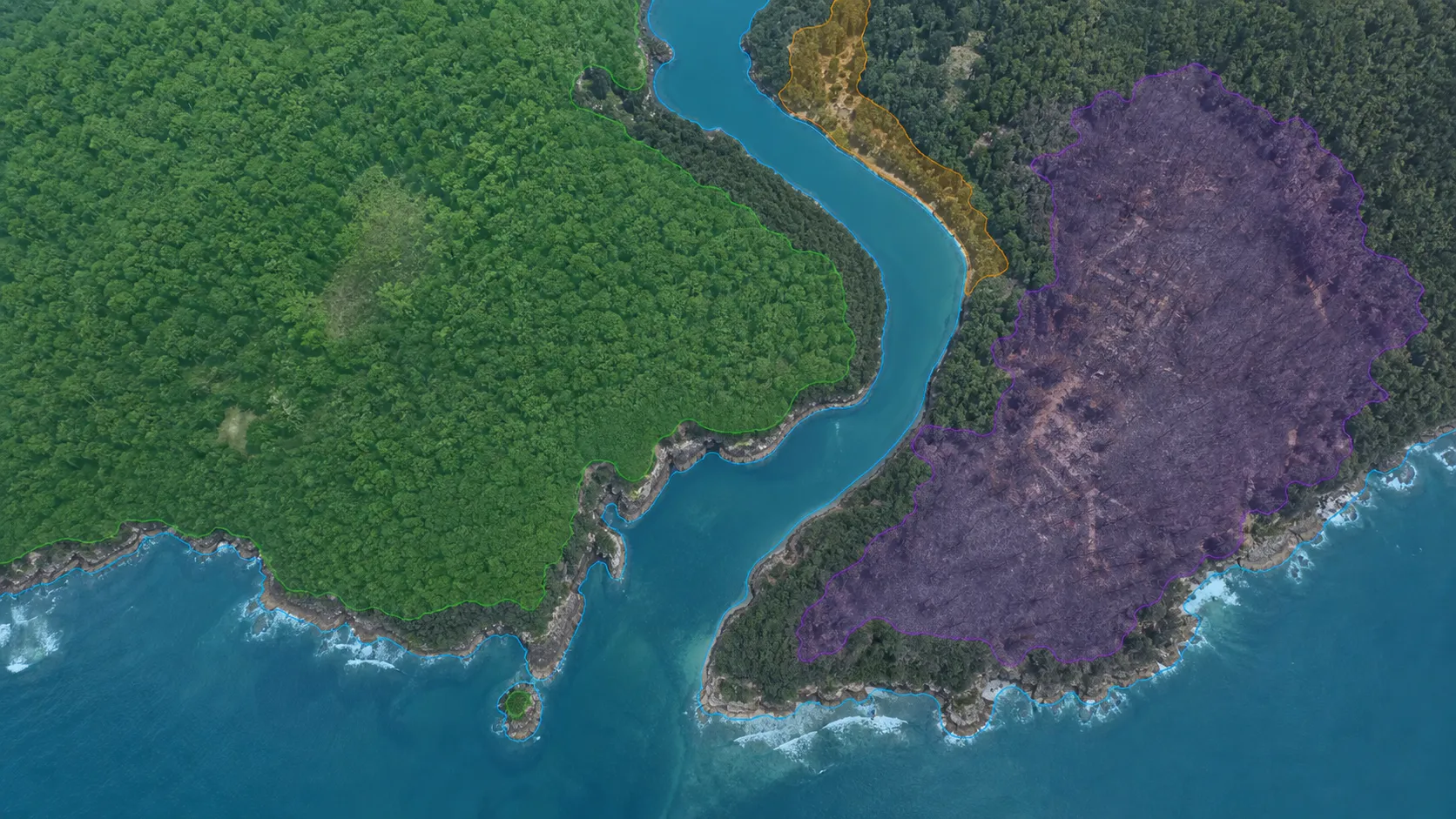
Label vegetation disturbance, flood extent, burned areas, and shorelines in satellite and aerial imagery for environmental analysis datasets.
Explore environmental monitoringAnswers about satellite and aerial image annotation, remote sensing, large geospatial rasters, land-cover segmentation, coordinates, ontologies, quality workflows, and model integration in Unitlab.
Talk with the Unitlab teamUnitlab supports bounding boxes, segmentation masks and brushes, polygons, skeletons, lines and polylines, points and keypoints, cuboids and 3D boxes, relations, class properties, and Item Properties. Teams define labels and rules in a reusable ontology for consistent geospatial training data.
Geospatial annotation documentationUse built-in foundation models or bring your own model to generate visual predictions for supported image annotation types. Annotators review and refine model output so human approval remains part of the quality process.
Auto-labeling documentationYes. Unitlab applies its visual annotation workspace to aerial imagery so teams can inspect small structures while maintaining broader image context. Use boxes, polygons, masks, polylines, and keypoints as appropriate for each image.
Geospatial inspection documentationReusable ontologies define classes, attributes, Item Properties, and relations. For example, a Building can have Type and Condition attributes, a Road can have Type and Surface attributes, and the two objects can be connected with an adjacent-to relation.
Properties and relations documentationConfigurable workflows route geospatial tasks through annotation, review, rework, and approval. Instructions, assignments, comments, issues, annotation history, dataset versions, and releases keep quality decisions traceable for individual experts and enterprise teams.
Annotation and review documentationYes. Unitlab can bring custom models into the annotation workflow to generate pre-labels and predictions. Annotators review and correct model output instead of starting from zero, while human approval remains part of the governed quality process.
Model integration documentationYes. Teams can curate geospatial data with metadata filters, semantic search, embeddings, similarity, and outlier discovery, then annotate selected samples, review results, and publish controlled dataset versions for reproducible AI development.
Dataset management documentationAnnotate, review, and manage complex aerial and satellite imagery in one AI-assisted workspace. Move from raw images to controlled, production-ready dataset versions with built-in quality workflows.


We use cookies to improve your experience. See our Privacy Policy and Cookie Policy.