
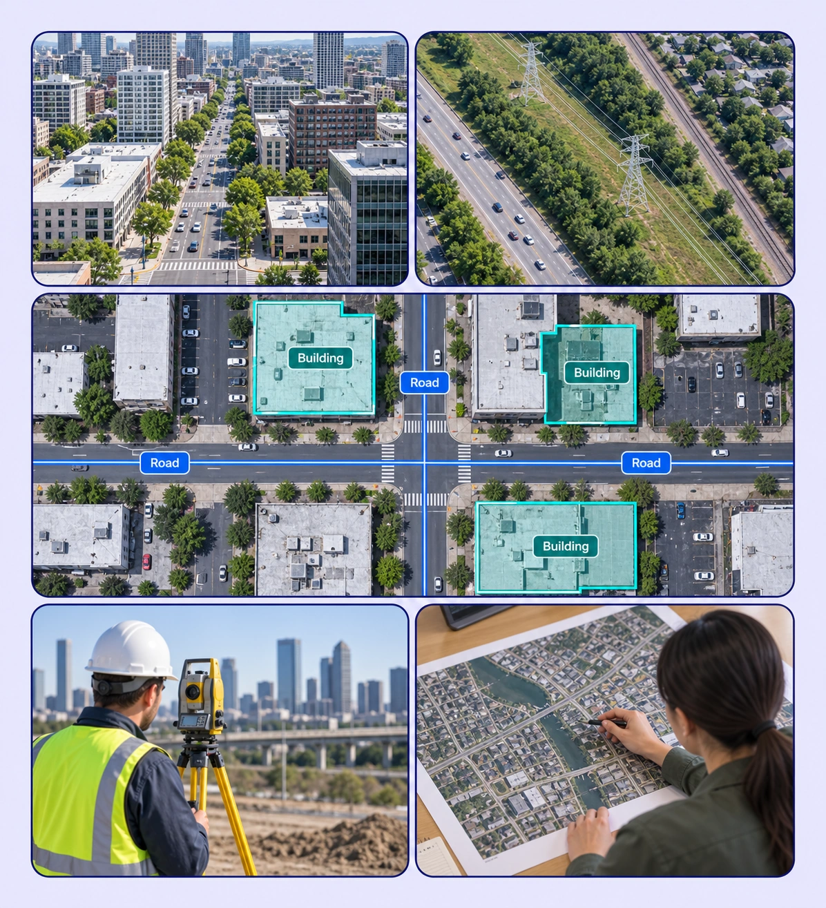
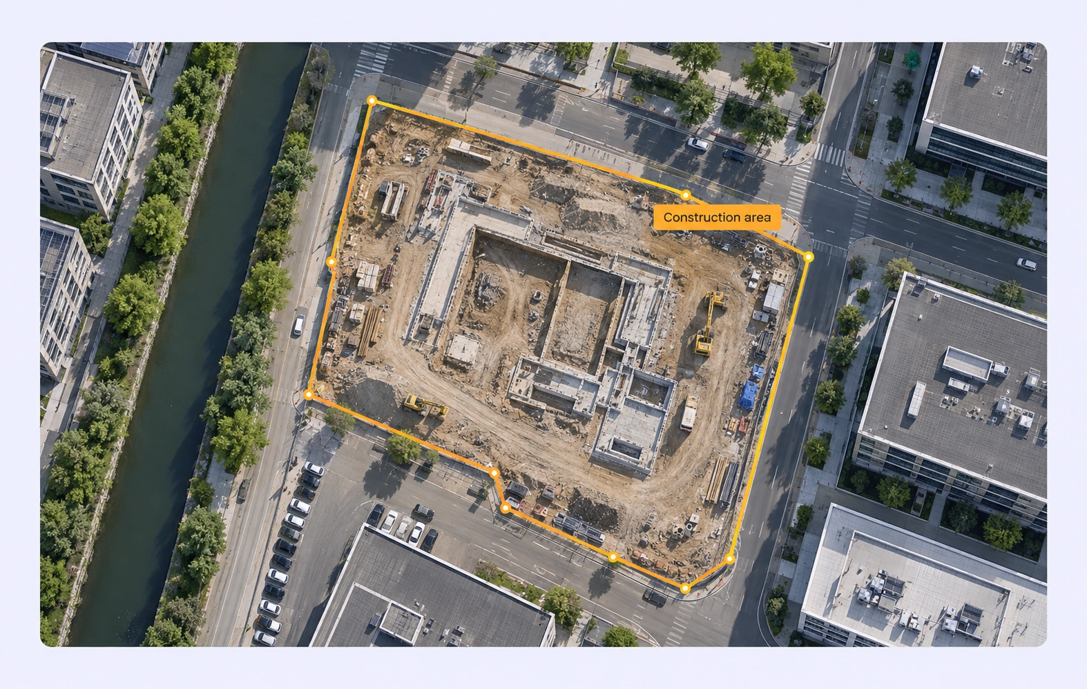
Annotate buildings, roads, and infrastructure with reusable classes and review.
Automate curation, management, and versioning of urban mapping datasets.
Reusable ontologies and governed quality control reduce labeling and review rework.
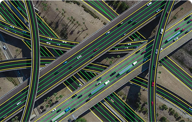
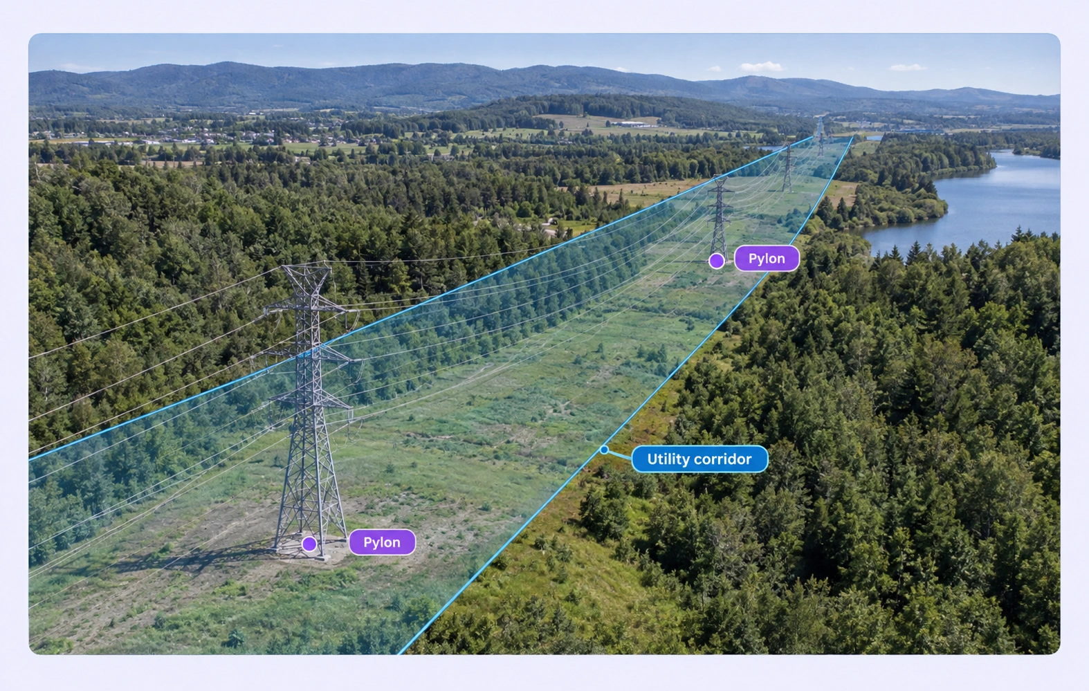
Represent linear infrastructure and discrete visible assets with geometry suited to each target.
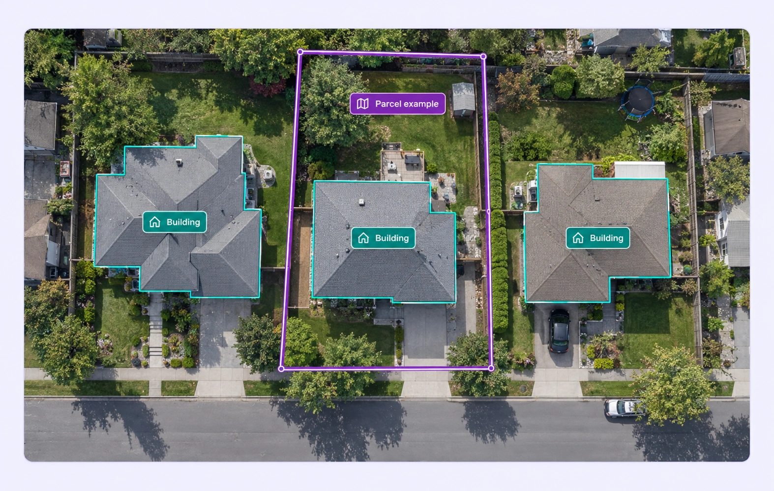
Outline buildings, parcels, and construction areas in the original raster coordinate space.
It labels infrastructure visible in aerial or satellite imagery, creating examples for models that locate roads, buildings, utility features, and other urban targets.
Yes. Use line annotations for the visible routes and define the road categories or properties required by your dataset.
Yes. Polygon and mask labels can describe area targets, with classes that distinguish the features your model needs to learn.
Yes. Choose points for discrete targets, lines for corridors, or regions for visible areas according to your task’s geometry requirements.
Yes. Add properties for the categories or visible attributes your task requires, and keep those definitions consistent across roads, buildings, and utility features.
Define visibility and uncertainty rules in the annotation guidelines, then review ambiguous features in the source raster before accepting the labels.
Unitlab supports GeoTIFF, Cloud Optimized GeoTIFF, JPEG 2000, ERDAS IMG, and NITF raster inputs. Tiled navigation helps teams inspect large satellite and aerial images.
Reviewers inspect mapped regions and boundaries in their source raster, add comments, and return corrections through the workflow. A shared ontology keeps the map classes and properties consistent.
Yes. GeoJSON supports geographic output for valid georeferenced rasters. COCO, YOLO, and Unitlab Unified Export Format serve other training needs while retaining the appropriate source geometry.


We use cookies to improve your experience. See our Privacy Policy and Cookie Policy.