
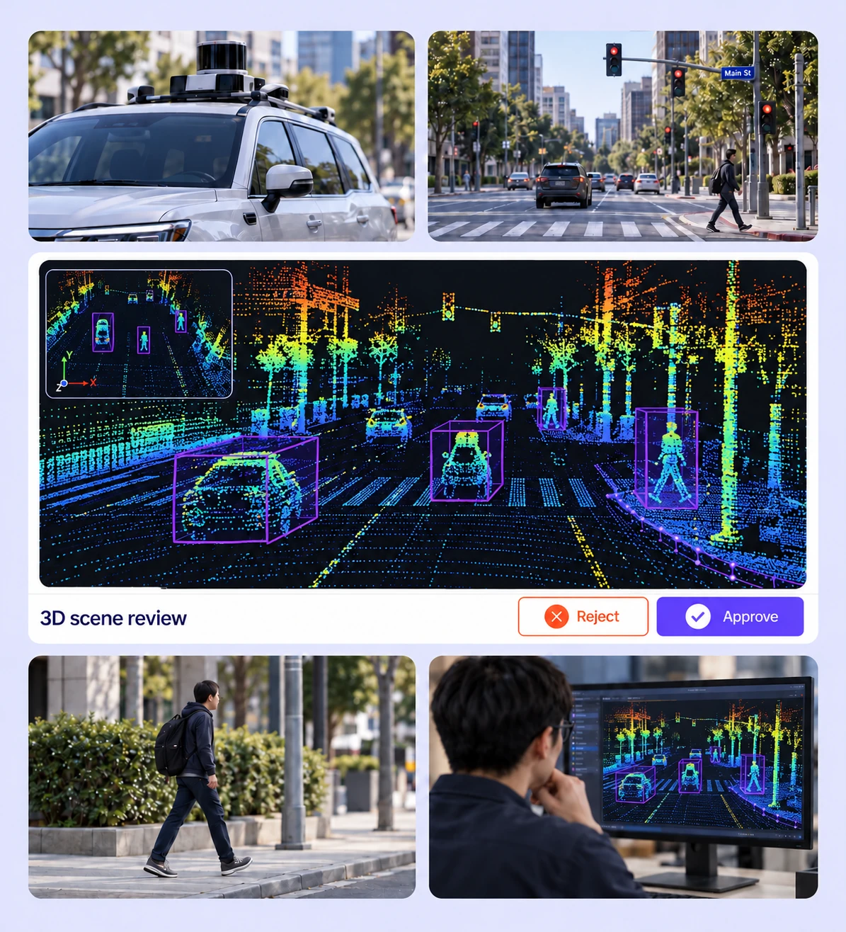
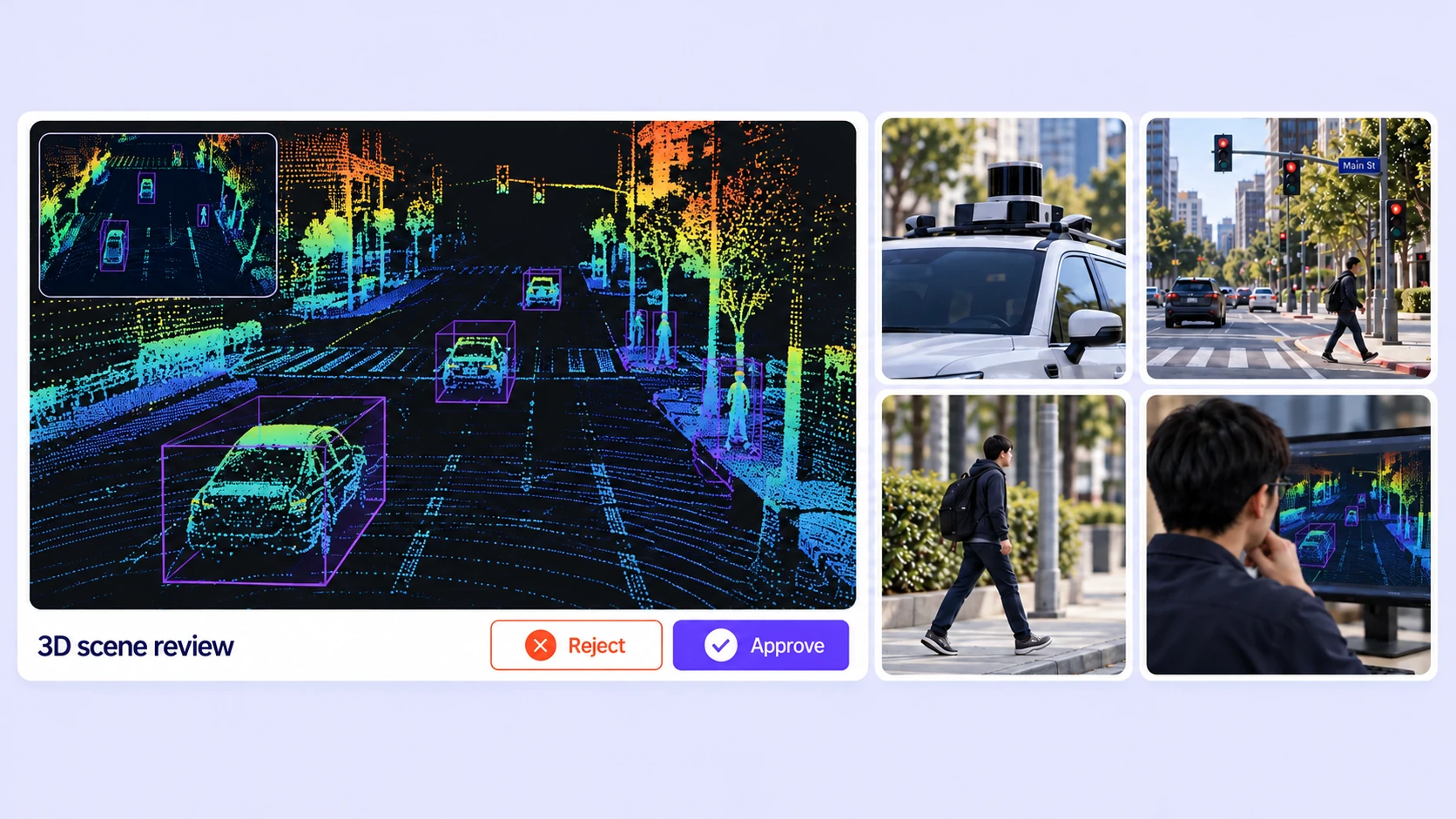
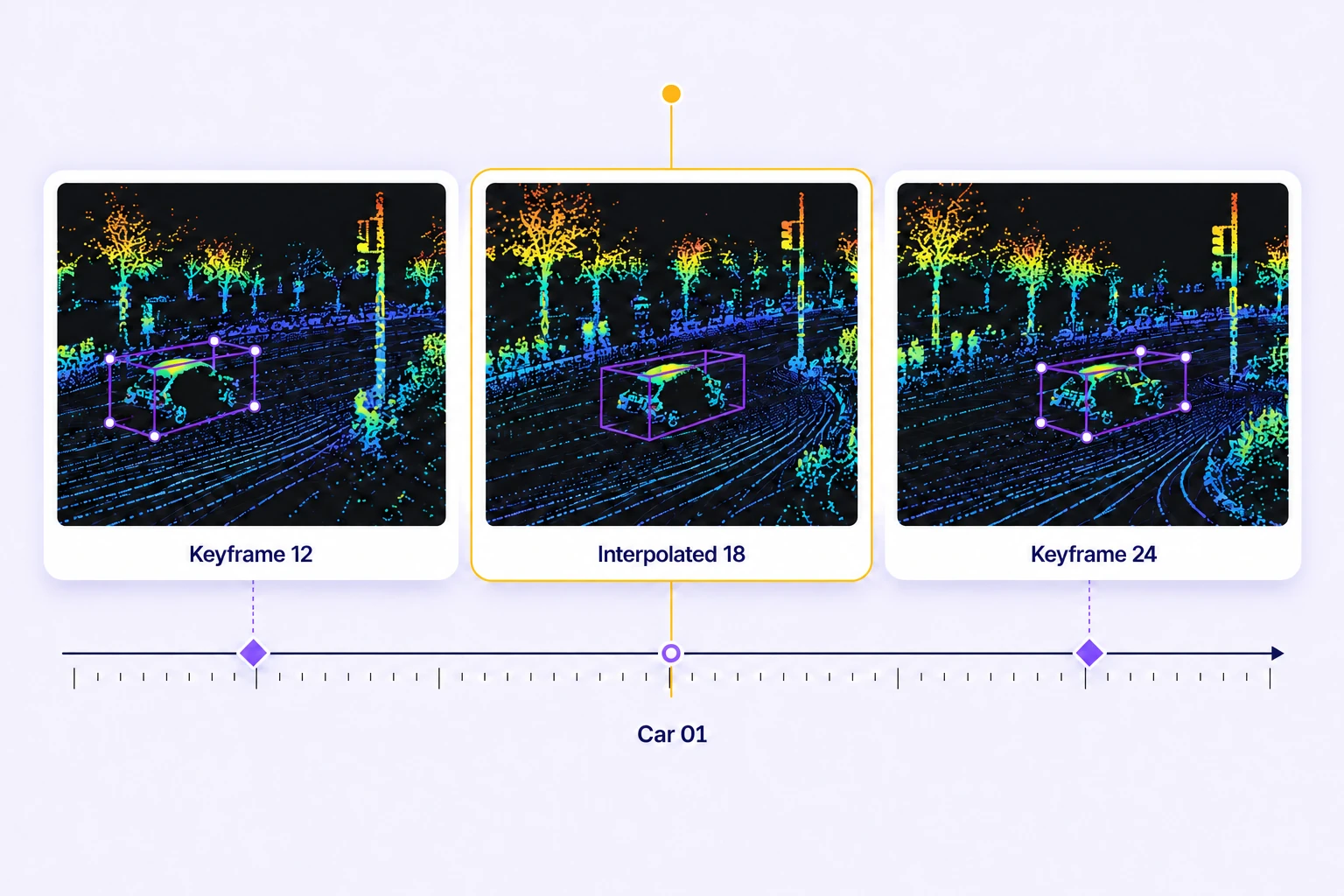
Batch workflows, camera-assisted Find Similar and Auto-Tracking, and interpolation reduce repetitive manual LiDAR labeling.
On average, 85% of LiDAR labels are pre-labeled automatically, then reviewed and refined by humans.
The cost per accepted label can be up to 15× lower as curation, annotation, and QA are automated.
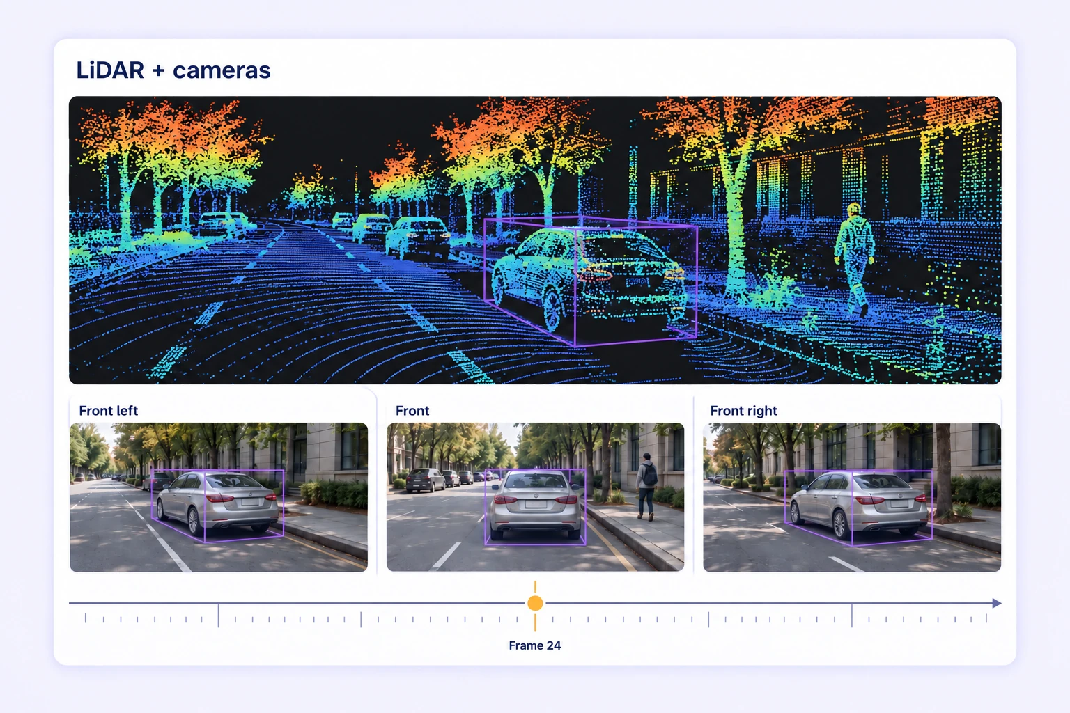
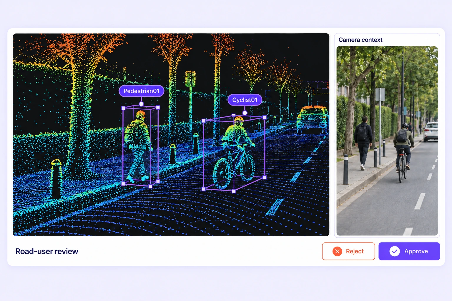
Inspect road-user cuboids in the point cloud and linked calibrated camera views. Use the image evidence to resolve class and boundary questions while keeping the 3D label authoritative.
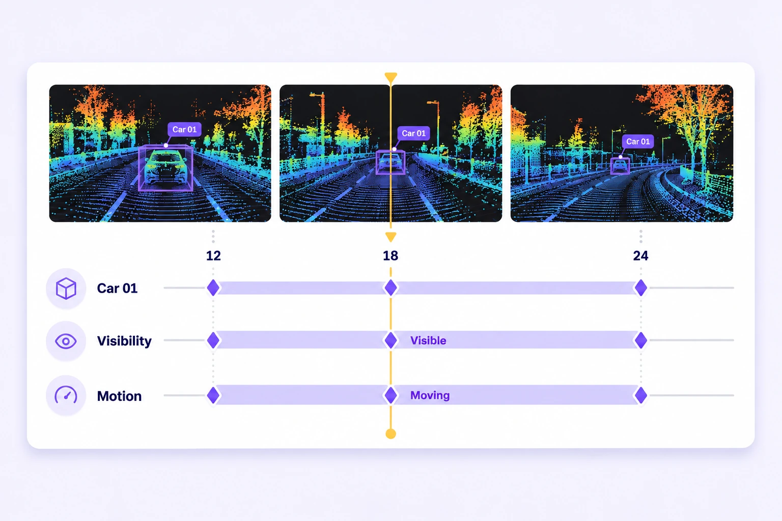
Refine cuboid keyframes where motion or visibility changes. Review interpolation across neighboring frames and apply the project’s rules for occlusion consistently.
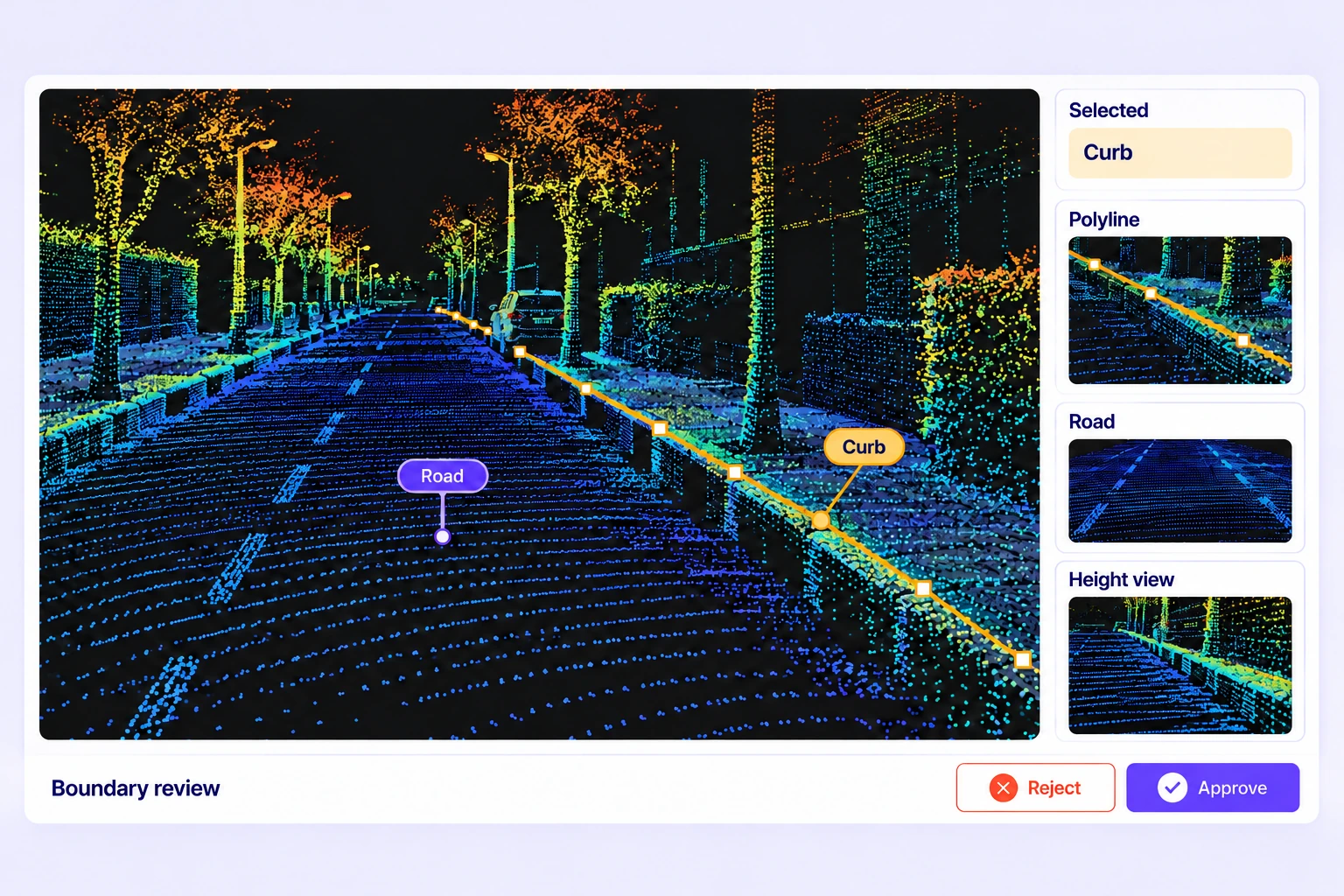
It is the labeling of objects and spatial structure in recorded point-cloud scenes to prepare driving-perception training data. Labels can describe 3D object extents, point classes, road boundaries, and changes across scene frames.
Define classes for vehicles, pedestrians, cyclists, and the road elements relevant to your model. Use 3D cuboids for object extents, polylines for boundaries, and point segmentation for class-labeled regions.
Yes. Scenes can include multiple point-cloud sensors and camera images. Supply the required calibration and poses so projected labels and linked camera boxes are placed consistently across the available views.
Camera-guided tracking follows projected object boxes through a calibrated camera sequence, then fits 3D cuboids to the LiDAR points. Review the generated tracks and refine keyframes while preserving manual corrections.
Cuboid tracks preserve object identity, geometry, keyframes, and visibility ranges. Interpolation fills position, dimensions, and rotation between keyframes. Annotators review the results against the point cloud and correct ambiguous motion or visibility changes.
Unitlab supports PCD, PLY, and BIN point-cloud data, including ZIP and folder scene uploads. Scene manifests can describe sensors, frames, camera calibration, and poses. Check the format and scene structure before importing a driving dataset.
Use shared instructions, required properties, expert review, Consensus for standalone LiDAR scenes, and Quality Gate benchmarks. Inspect geometry and identity across frames, then resolve issues before approving the labels.
Yes. Organize scenes with folders, tags, metadata, and available filters. Select representative routes, conditions, and difficult cases, then record the selection in a dataset version for annotation and review.
Export reviewed LiDAR annotations in Unitlab Unified Export Format (UUEF), preserving supported geometry, tracks, scene metadata, calibration, and point-label arrays. Validate class conventions and coordinate handling with your training code before use.


We use cookies to improve your experience. See our Privacy Policy and Cookie Policy.